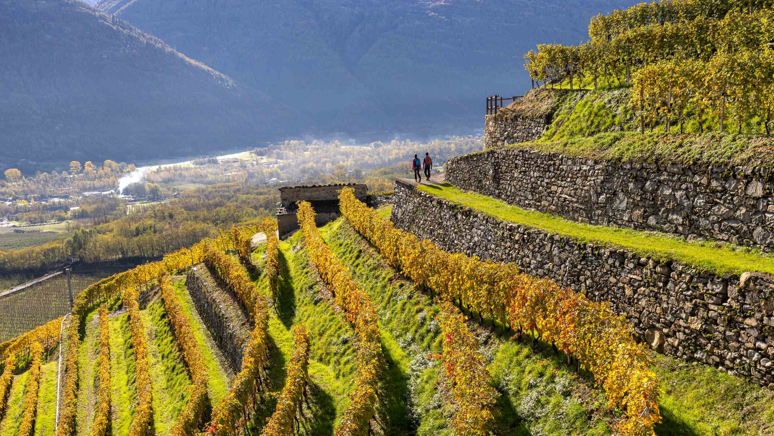


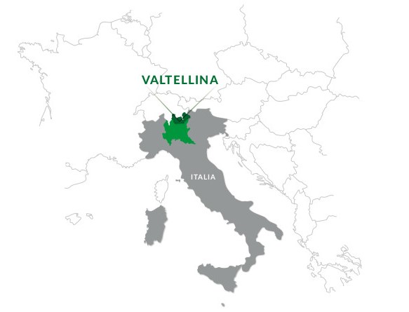
WHERE IS VALTELLINA?
Valtellina is a valley 120 kms long and 65 kms wide situated in northern Lombardy, on the border between Italy and the Swiss canton of Grisons. It is the only major Alpine river valley to run from east to west.
The region comprises two main valleys: the valley of the Adda river, which springs in the Bormio area, crosses Upper and Lower Valtellina, and flows into Lake Como; and the Liro and Mera river valleys, which traverse Valchiavenna and run from Passo della Spluga and Val Bregaglia to Lake Mezzola.
PUBLIC TRANSPORT
“Io viaggio in Lombardia (I travel in Lombardy)” tickets are an economical travel package that combines train travel with all other public transport options in the Lombardy region.
Info
www.trenord.it (train)
www.stps.it (bus)
www.busperego.it (bus)
www.silvestribus.it (bus)
www.muoversi.regione.lombardia.it

GETTING THERE BY TRAIN
Milano - Tirano line
Main stops: Milano (Central station) - Lecco - Colico - Morbegno - Sondrio - Tresenda - Tirano
Distance: 156 km (2h 30'). Change in Colico to reach Valchiavenna
Info:www.trenord.it
Colico - Chiavenna line
Distance: 35 km (30 min)
Info:www.trenord.it
Bernina Express line
Main stops: Coira - St. Moritz - Poschiavo - Tirano
Info:www.rhb.ch
GETTING THERE BY AIRPLANE
The closest airports are Milano Linate, Milano Malpensa and Bergamo Orio al Serio..
Other international airports within a reasonable distance include Zurich (Switzerland) and Innsbruck (Austria).
GETTING THERE BY CAR
From the south
From Milan, take the SS36 Spluga highway (in green on the map below), up to Colico and Chiavenna. Just past Colico is the entrance to the SS38 Stelvio highway (in red on the map below), which runs through the main townships in Valtellina and up to Bormio and the Passo dello Stelvio.
From the north
Livigno and Upper Valtellina are accessible from Zernez (Lower Engadina) via Passo del Gallo (Munt La Schera tunnel). From St Moritz, Valtellina can be accessed via Passo del Bernina and Tirano. Valtellina can also be accessed from Valcamonica (on the Bergamo side of the Bergamo Alps) via Passo dell’Aprica and from Engadina (Switzerland) via Passo del Maloja and Valchiavenna. Other passes, such as the Gavia pass from Brescia or Trento and the Passo dello Stelvio from Alto Adige, are only open during the summer.
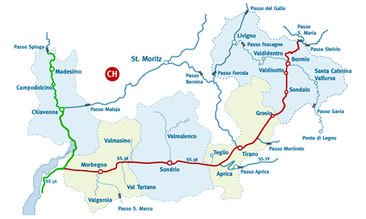
Mountain passes open all year round
- Aprica pass ( 1176 mt )
- Foscagno pass ( 2291 mt )
- Valico del Gallo ( 1693 mt )
- Maloja pass ( 1815 mt )
- Bernina pass ( 2315 mt )
Mountain passes open in Summer
- Spluga pass ( 2115 mt )
- San Marco pass ( 1992 mt )
- Mortirolo pass ( 1852 mt )
- Gavia pass ( 2621 mt )
- Stelvio pass ( 2758 mt )
- Santa Maria - Umbrail pass ( 2502 mt )
- Forcola pass ( 2315 mt )
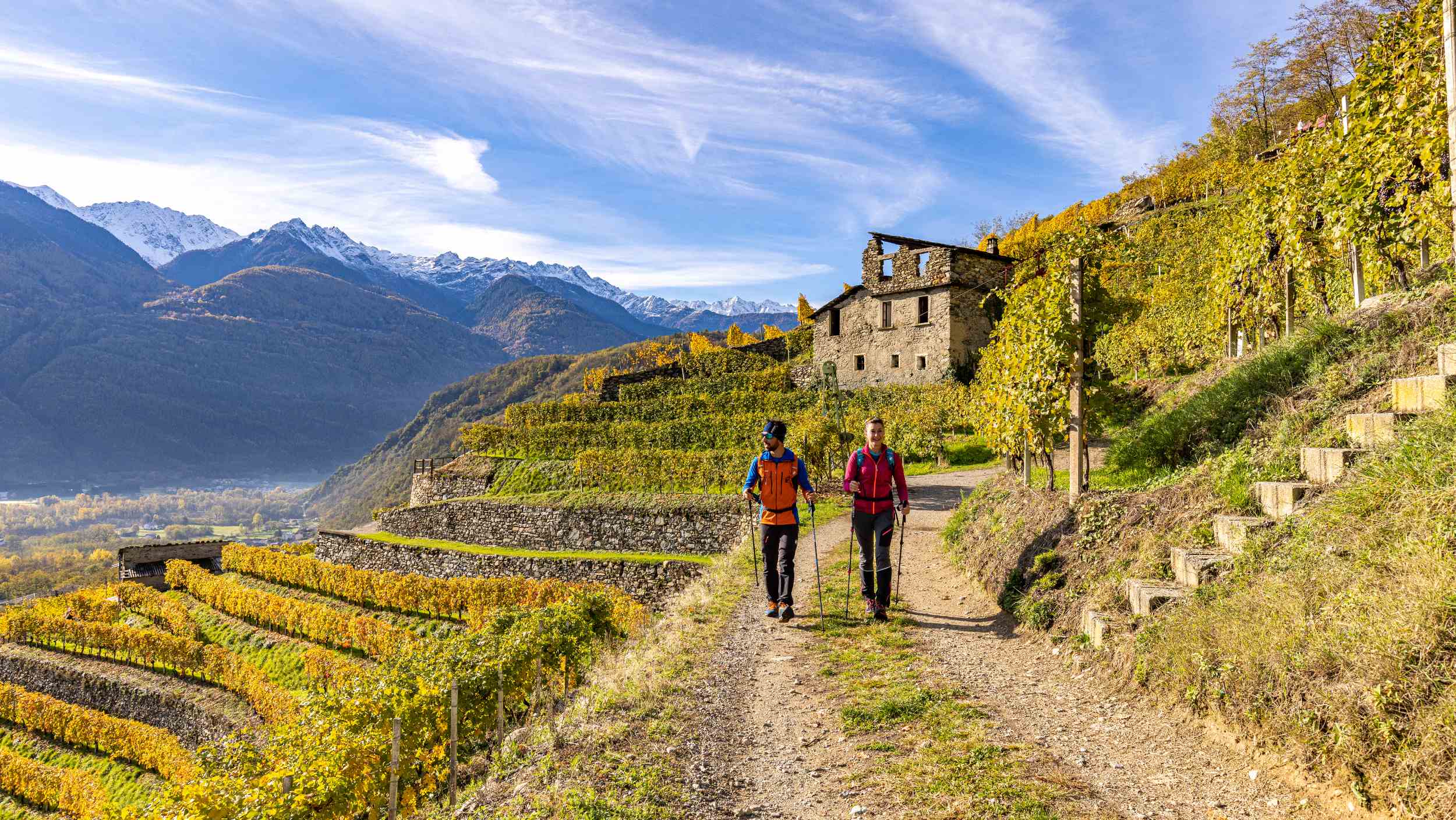
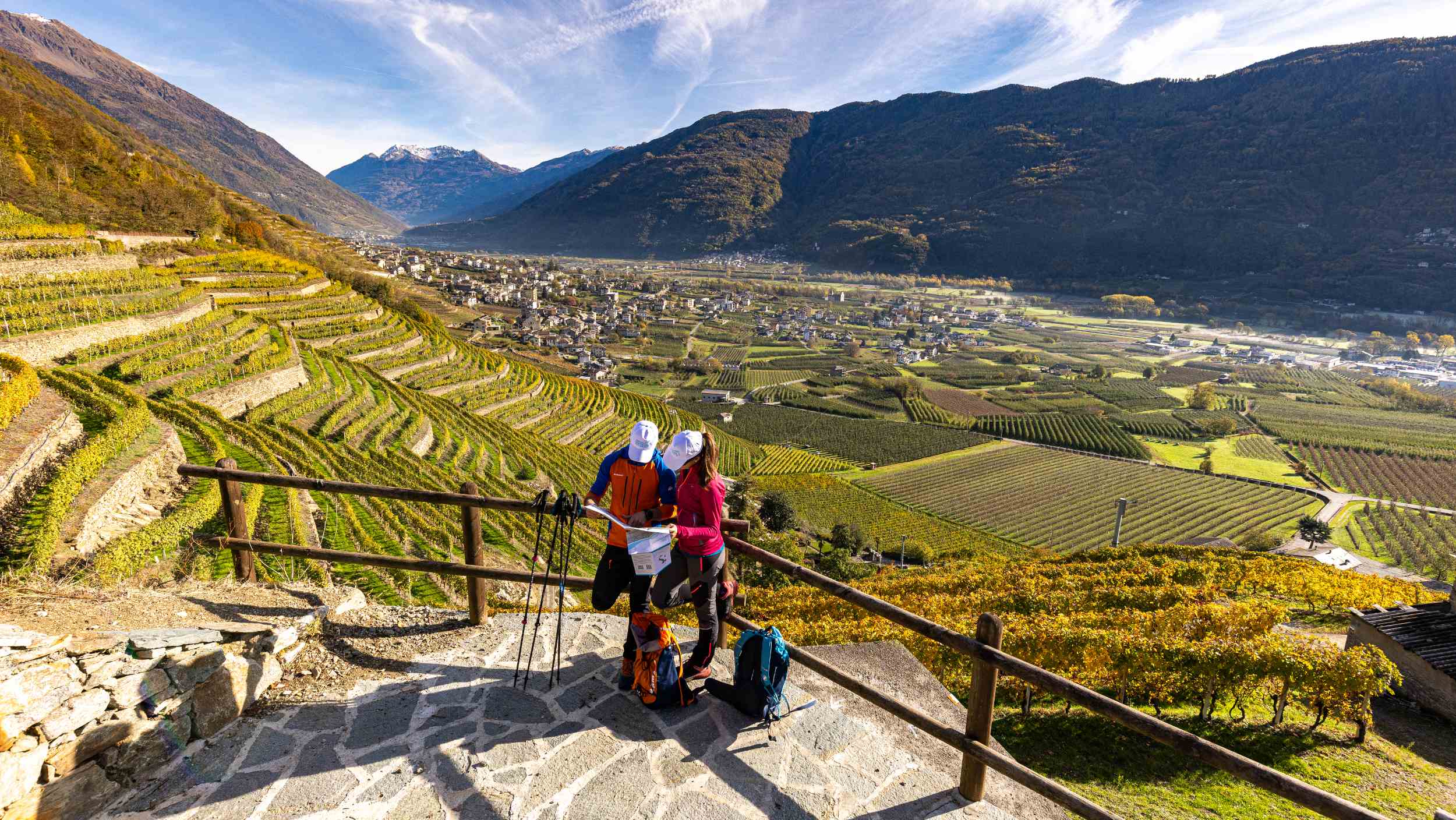
HOW DO I REACH THE STAGE STARTS OF THE CAMMINO MARIANO DELLE ALPI?
You can reach Colico by train (Trenord service) or on two different bus services (the ASF Autolinee, which departs from Como, or the STPS bus). From Colico, you can then travel to Piantedo by taxi or the STPS bus https://www.stps.it/
Approximate time: 5 min
Piantedo is where you’ll find the first church on the Cammino Mariano delle Alpi and collect the first stamp on your credential.
The finish of this stage in Morbegno can be reached by train (www.trenord.it) or by bus (www.stps.it)
Colico – can be reached by:
Trenord Train
Bus ASF Autolinee (from/for COMO)
Bus STPS
Morbegno –can be reached by:
Trenord Train
Bus STPS
Berbenno – can be reached by:
Bus STPS
Trenord Train (some local trains to S. Pietro Berbenno and then Bus STPS)
Sondrio – can be reached by:
Trenord Train
Bus STPS
Teglio – can be reached by:
Bus Perego (from Tirano only weekdays)
Bus STPS (from Sondrio)
Tirano –can be reached by:
Trenord
Bus Perego (from Aprica-Edolo and from Alta Valtellina)
Bus STPS


